2005
Hurricane Katrina
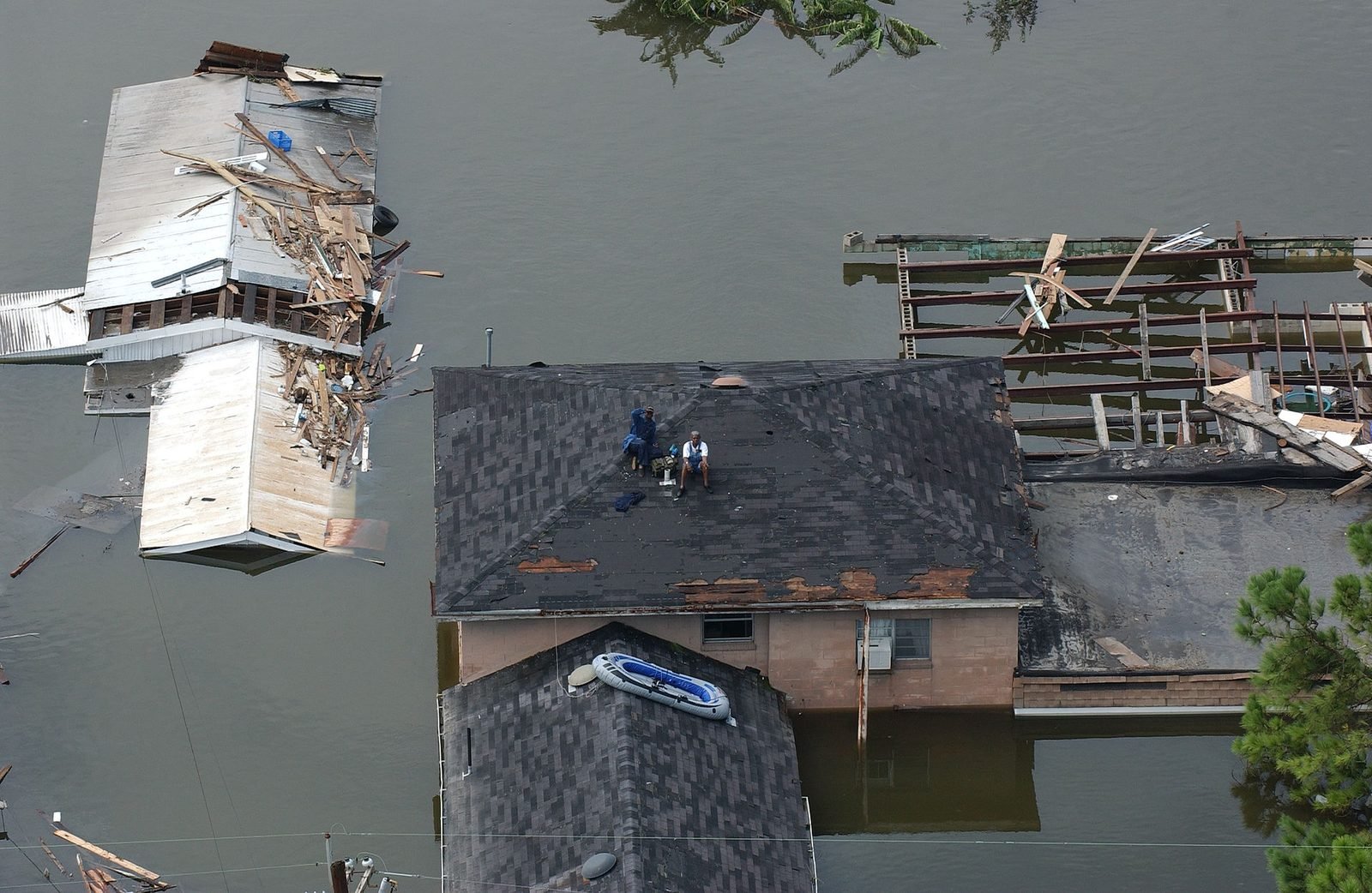
Residents wait on rooftops for rescue in flooded New Orleans — a defining image of evacuation failure and delayed organized response.
Educational presentation · see credits below
A curated educational gallery of publicly available field photographs — FEMA and other open sources — used to teach why organized evacuation, risk recognition, and trained mutual aid matter.
Each event below links a real place and year to a training takeaway for campuses and communities.
Residents wait on rooftops for rescue in flooded New Orleans — a defining image of evacuation failure and delayed organized response.
Educational presentation · see credits below
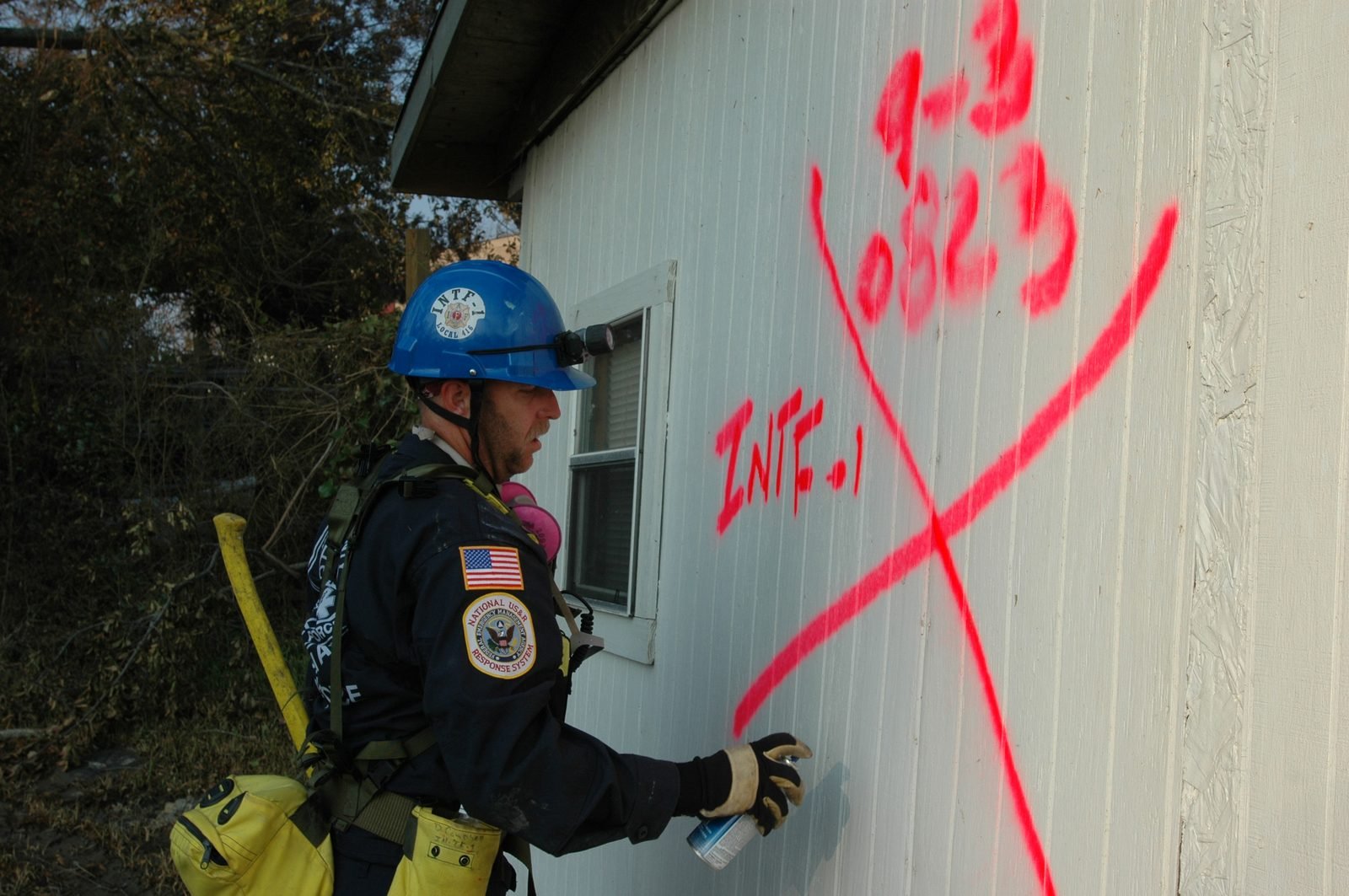
Urban Search and Rescue teams mark structures after search — standardized field language under chaos.
Educational presentation · see credits below
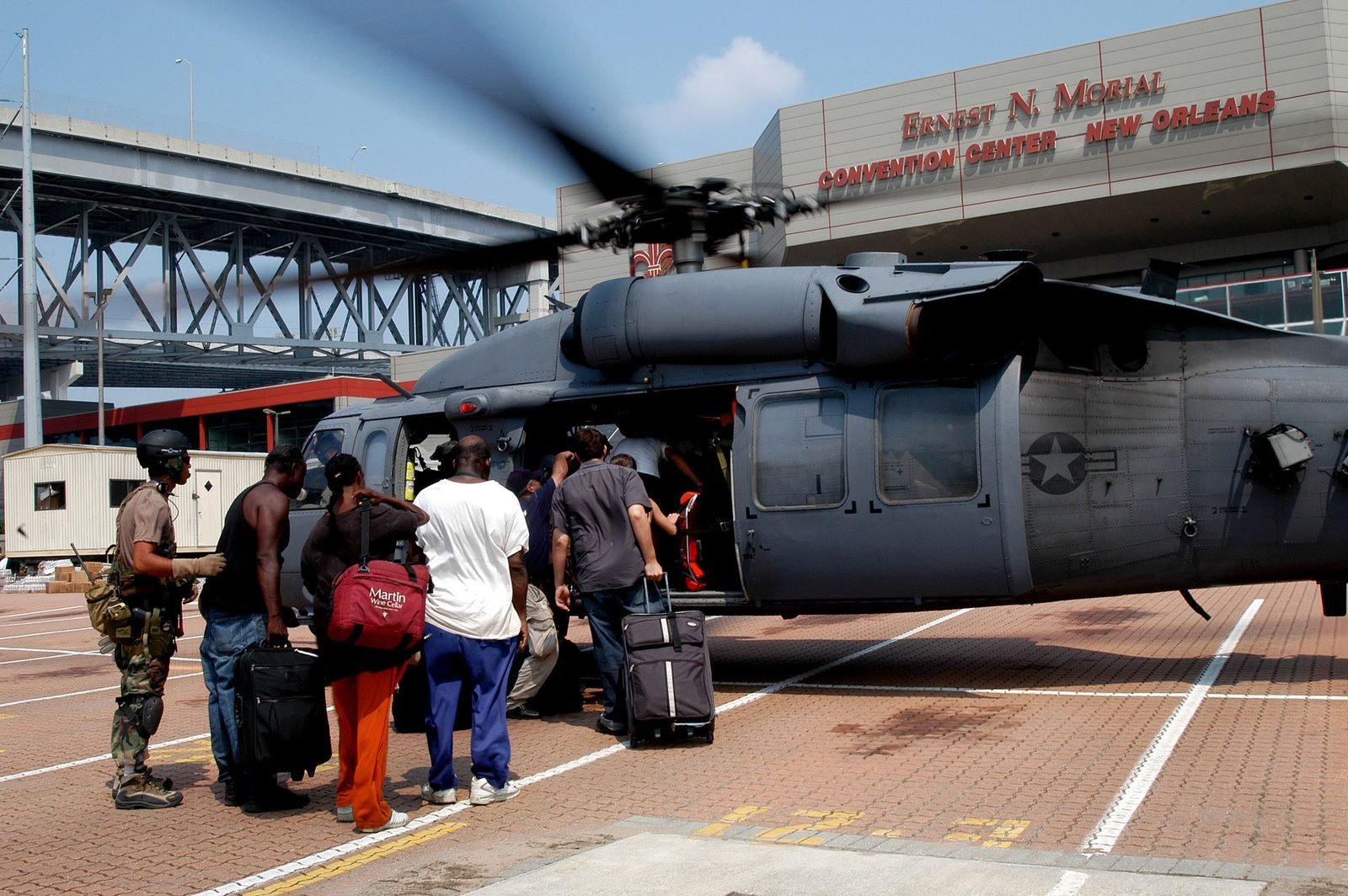
Thousands sheltered in public facilities — logistics, crowd care, and dignity under pressure.
Educational presentation · see credits below
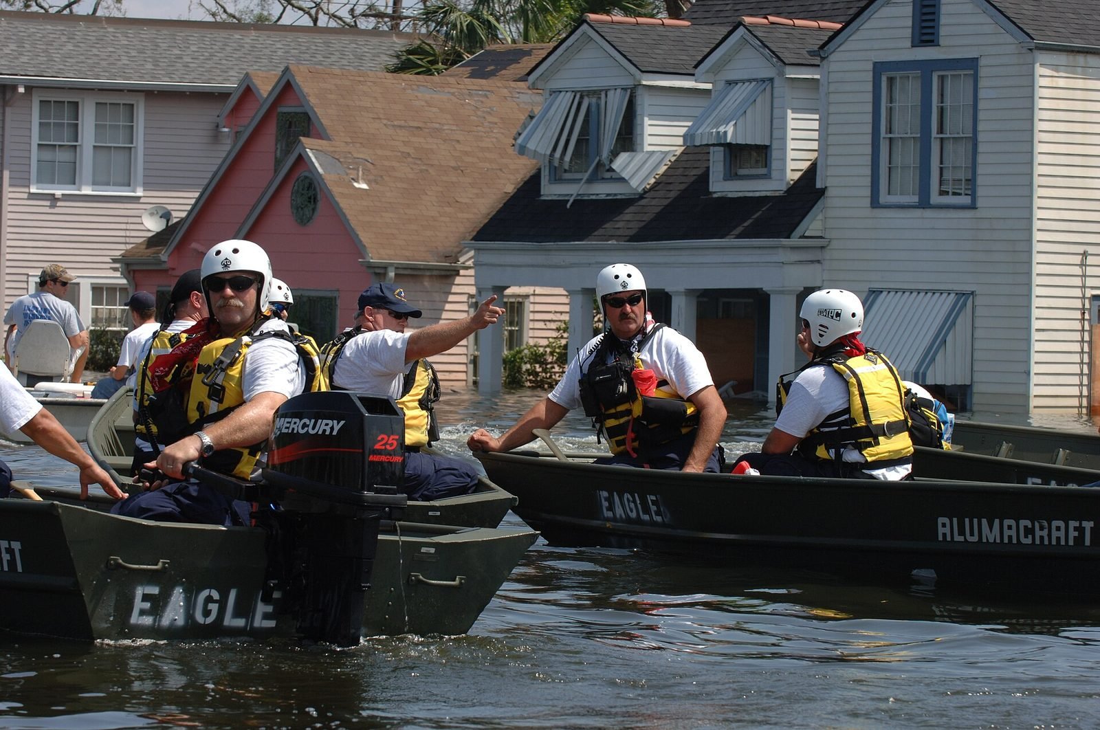
FEMA Urban Search and Rescue in the field after Katrina.
Educational presentation · see credits below
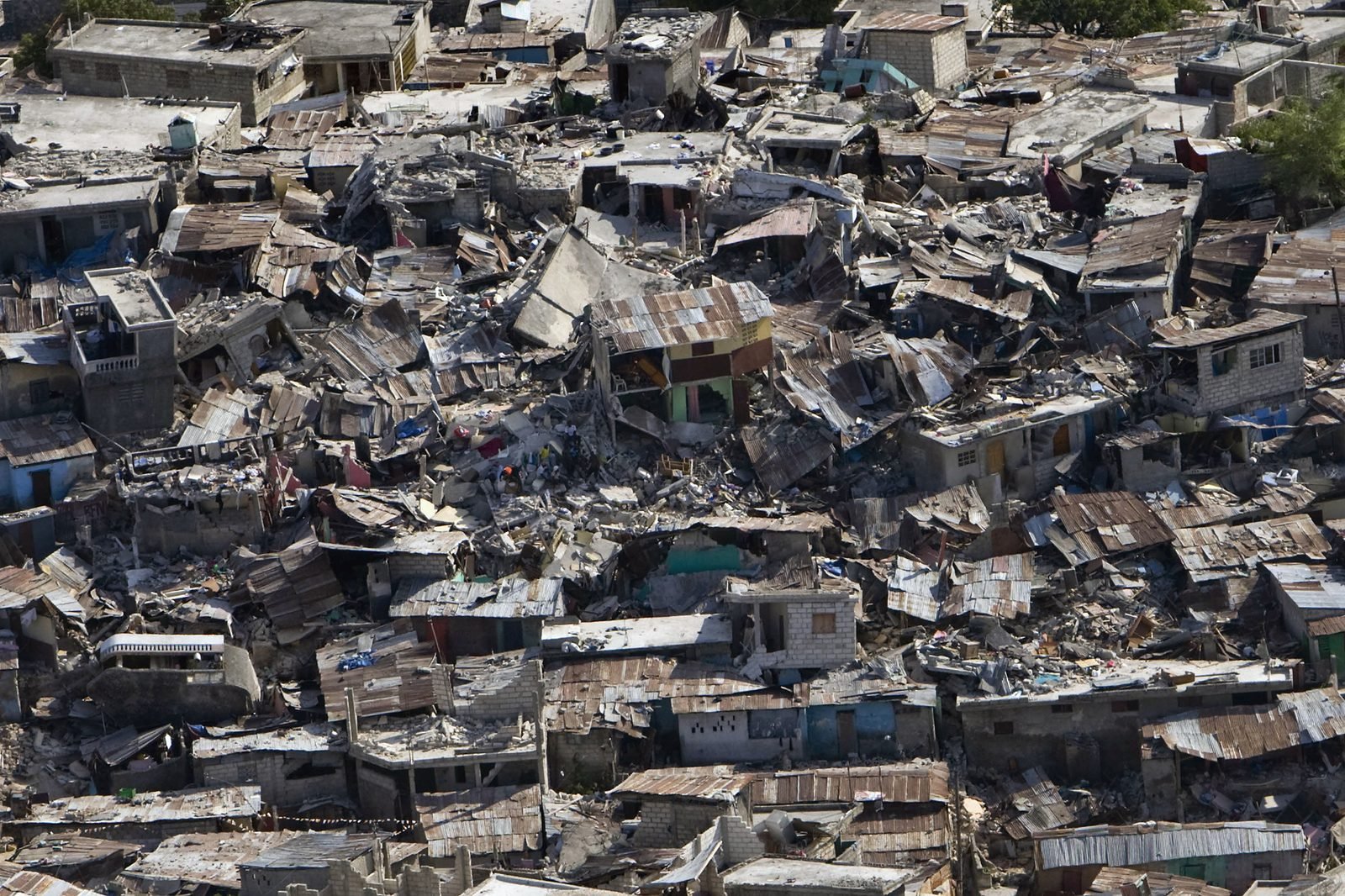
Collapsed structures and dense urban rubble — why mutual aid and trained local responders matter in the first hours.
Educational presentation · see credits below
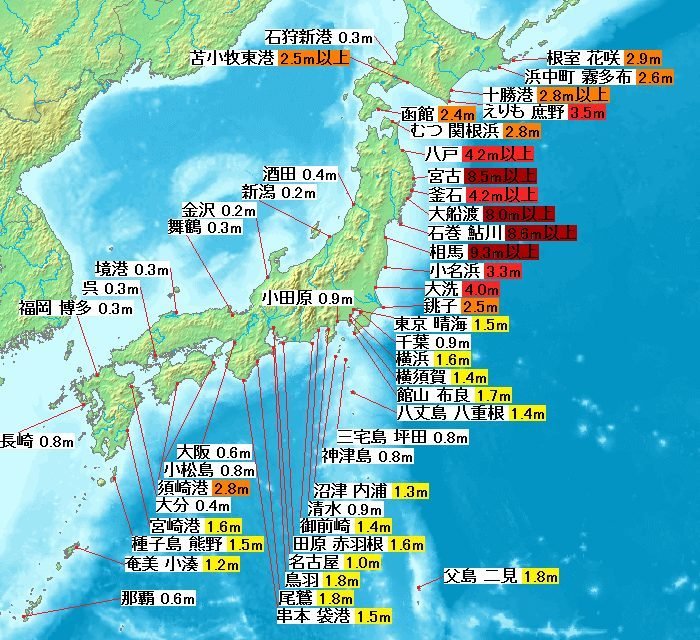
Cascading multi-hazard disaster: quake, tsunami, infrastructure loss — protective action and early warning at societal scale.
Educational presentation · see credits below
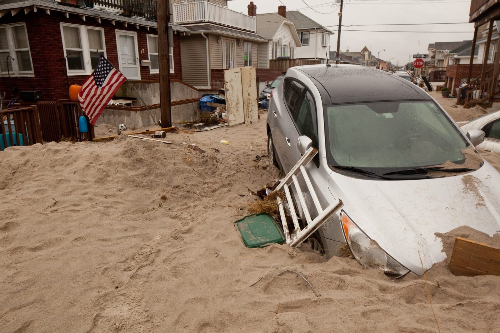
Coastal flooding in the U.S. Northeast — power, transit, and high-density evacuation challenges.
Educational presentation · see credits below
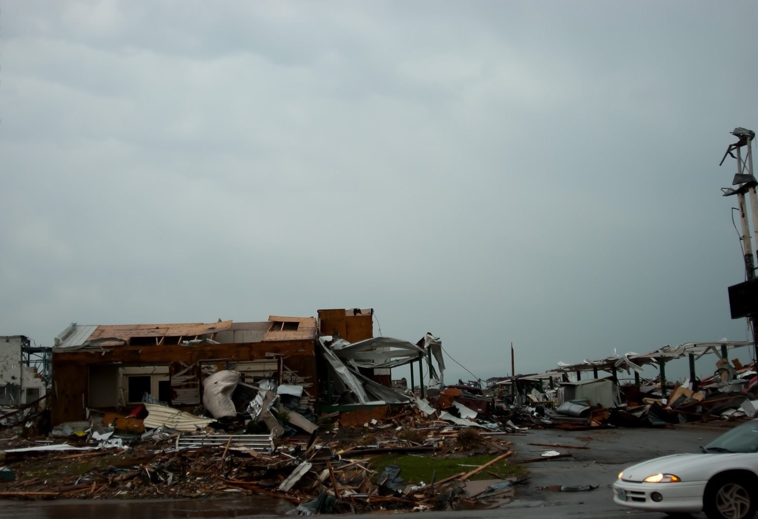
Violent tornado damage — shelter-in-place decisions, debris hazards, and community recovery.
Educational presentation · see credits below
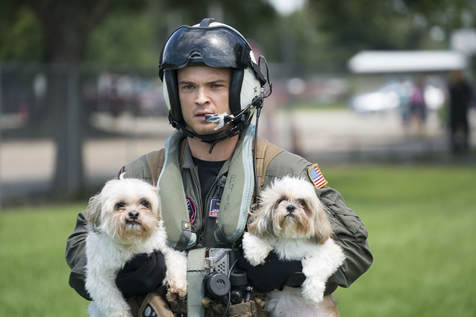
Prolonged urban flooding and boat rescues — self-evacuation windows and neighbor mutual aid.
Educational presentation · see credits below
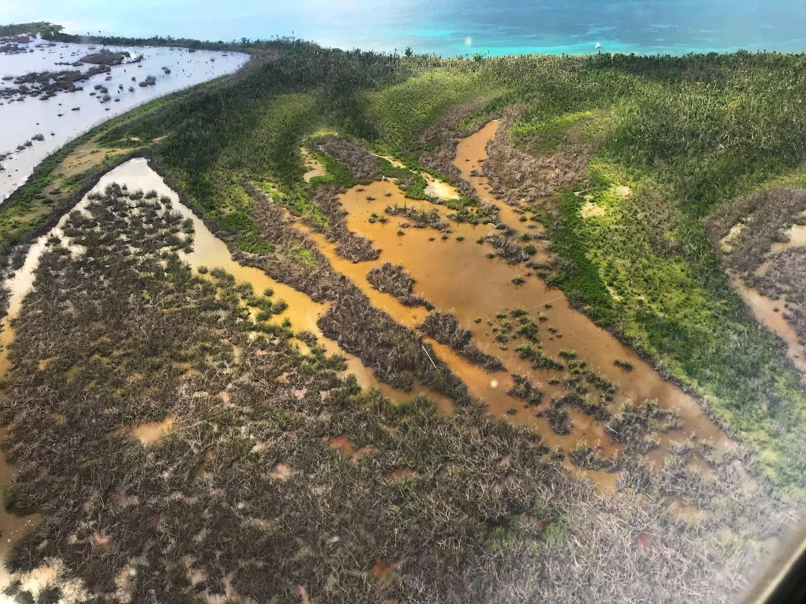
Island-scale infrastructure collapse — communications, medical logistics, and long-tail recovery.
Educational presentation · see credits below
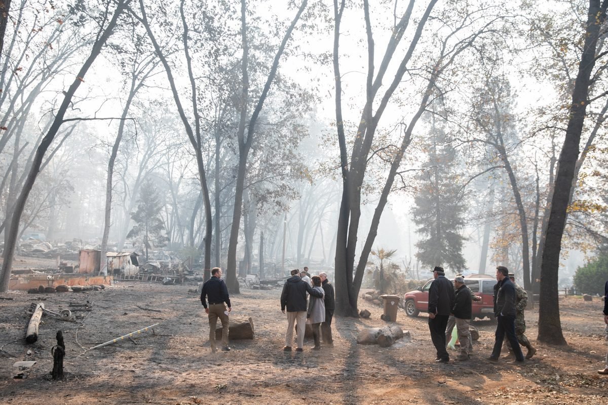
Fast-moving wildland-urban interface fire — evacuation timing, routes, and community readiness.
Educational presentation · see credits below
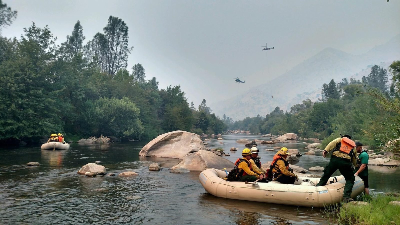
Fire service operations under extreme heat and smoke — professional risk that campus and community plans must respect.
Educational presentation · see credits below
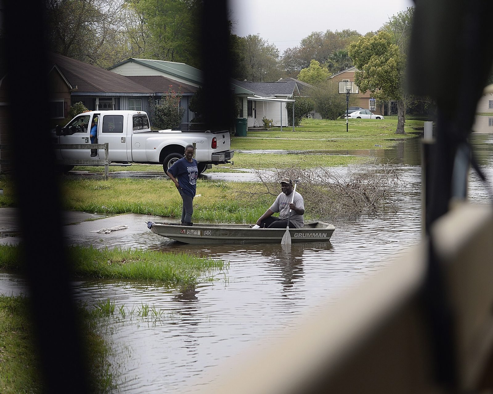
Water rescue platforms in inundated streets — coordination between military, civilian, and volunteer assets.
Educational presentation · see credits below
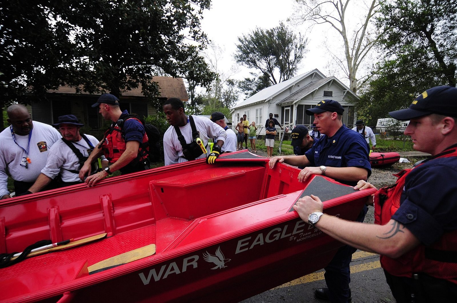
USAR discipline: search markings, structural awareness, and team accountability.
Educational presentation · see credits below
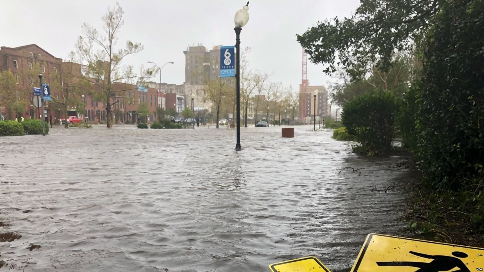
Hurricane Florence flooding — slow-moving storms and extended inundation risk.
Educational presentation · see credits below
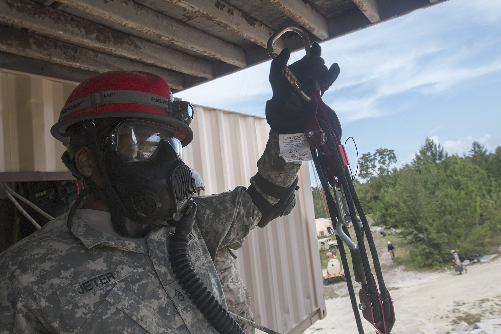
Earthquake response environments — rubble, access, and first-hour decisions.
Educational presentation · see credits below
These images are not decoration. They are reminders that untrained crowds, blocked exits, late decisions, and silent buildings cost lives.
IERRTA’s UEB campus course and professional tracks exist so students and responders share a language before the next photograph is taken.
Machine-readable credits also live in images/media/credits.json on the server. Primary portal: Wikimedia Commons. FEMA works are U.S. federal government public domain unless otherwise noted.
images/media/ for reliability (not hotlinked).
Representative events: Hurricane Katrina (2005), Haiti earthquake (2010), Tōhoku (2011), Sandy (2012), Joplin tornado (2013), Harvey & Maria (2017), Camp Fire (2018), plus wildland firefighting and USAR field photography.
Always verify license on the Commons file page before commercial reuse outside this nonprofit educational context.